Precise Mapping and Geospatial Data Collection
-
- Utilizes RTK (Real-Time Kinematic) technology to provide high-precision positioning data.
-
- Suitable for geospatial surveying, 3D modeling, environmental monitoring, and other fields.
-
- Supports autonomous waypoint flights, enabling quick and efficient completion of large-scale mapping tasks.
Industrial Inspection and Monitoring
-
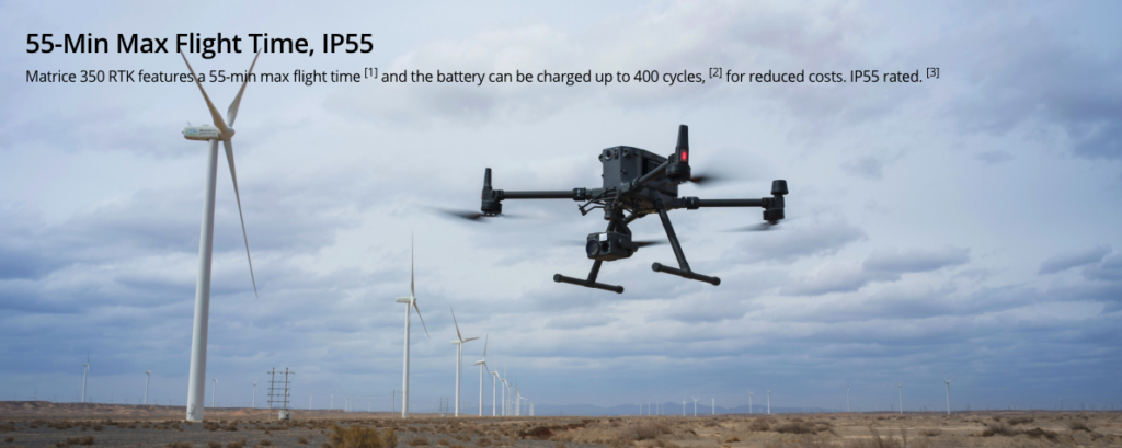
- Can be used for infrastructure inspections and maintenance, such as power lines, wind turbines, and oil pipelines.
-
- Equipped with high-definition cameras and thermal imaging cameras for regular inspections, fault detection, and safety monitoring.
-
- Eliminates the need for manual high-altitude operations, improving work efficiency and safety.
Search and Rescue
-
- Provides rapid aerial reconnaissance and location tracking in disaster areas or emergencies.
-
- Equipped with infrared thermal imaging or high-resolution cameras, enabling night-time or low-visibility operations.
-
- Real-time video transmission helps the command center make quick decisions.
Precision Agriculture Management
-
- Monitors crop growth and conducts land surveys.
Public Safety and Emergency Response
-
- Provides real-time aerial surveillance in disasters, fires, or large-scale accidents, supporting on-site command.
-
- HD video transmission helps relevant departments make emergency decisions.
Efficient Data Transmission and Cloud Services
-
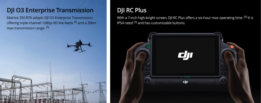
- Supports real-time transmission of high-definition images and videos, ensuring remote control and monitoring.
-
- Allows data to be uploaded to cloud platforms for processing and storage, facilitating post-analysis and report generation.
Enhanced Flight Performance and Stability
-
- Equipped with four batteries, offering long flight times (up to 55 minutes).
-
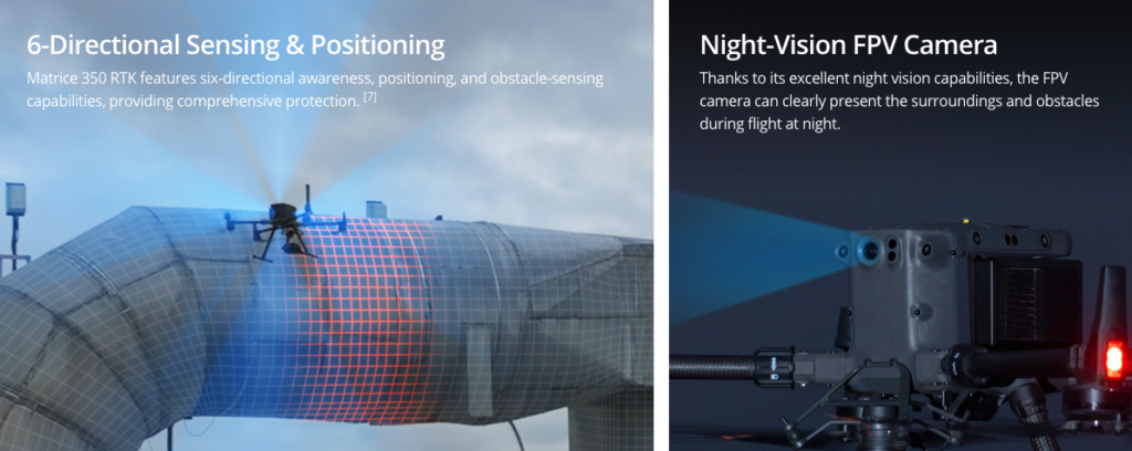
- Strong wind resistance, adapting to various complex environments and weather conditions.
-
- Multiple redundancy systems ensure flight safety.
Support for Multiple Application Modules
-
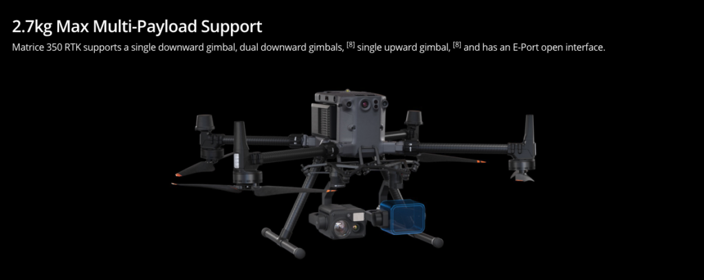
- Supports the installation of various payloads, such as high-resolution cameras, LiDAR, infrared thermal imaging devices, etc.
-
- Can be customized for specific tasks, meeting the needs of different industries.