
A Comprehensive Solution
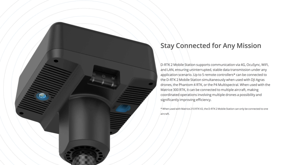
The D-RTK 2 Mobile Station is compatible with Phantom 4 RTK, P4 Multispectral, Agras Drones.
It also supports DPS (DJI Positioning Service), which provides high precision positioning data within the cover range of the base station, making it the ideal tool for surveying, aerial inspections, agriculture, and other industrial applications.
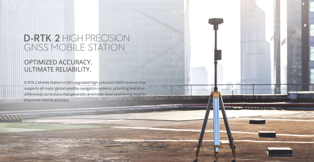
Centimeter-Level Positioning
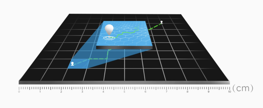
D-RTK 2 Mobile Station fully supports GPS, GLONASS, Beidou, and GALILEO signals. Easy and quick to set up, the D-RTK 2 Mobile Station provides real-time differential data for drones to achieve centimeter-level positioning accuracy. The built-in high-gain antenna offers better signal reception from more satellites even when obstructions are present.
RTK (Real-Time Kinematic) and D-RTK2 (Differential Real-Time Kinematic 2) are both technologies used in global navigation satellite systems (GNSS) to provide highly accurate positioning information. Here’s a brief overview of each:
Clomiphene tablets to buy RTK (Real-Time Kinematic):
- RTK is a technique used to enhance the precision of satellite positioning systems. It is commonly used in applications where high accuracy is crucial, such as in surveying, agriculture, construction, and unmanned aerial vehicles (UAVs).
- RTK works by using a fixed base station with a known location to send correction data to a rover or mobile device in real-time. This correction data helps the rover to correct its position, resulting in centimeter-level accuracy.
- RTK typically relies on a single base station, and the corrections are transmitted to the rover through a communication link, such as radio or cellular networks.
can you buy prednisone in canada D-RTK2 (Differential Real-Time Kinematic 2):
- D-RTK2 is an advanced version of RTK developed by DJI, a Chinese technology company known for its drones and other aerial systems. D-RTK2 is designed to provide high-precision positioning for DJI products.
- D-RTK2 incorporates dual-frequency GNSS receivers, allowing it to receive signals from both GPS and GLONASS satellites. This dual-frequency capability enhances the accuracy and reliability of the positioning data.
- D-RTK2 also includes additional features such as support for multiple satellite constellations (GPS, GLONASS, BeiDou, and Galileo), advanced algorithms for improved performance in challenging environments, and a modular design that allows it to be used with different DJI products.
In summary, while both RTK and D-RTK2 are based on the RTK technique for achieving high-precision positioning, D-RTK2 is a specific product developed by DJI that includes additional features and improvements tailored for compatibility with DJI’s products, particularly in the field of aerial systems and drones.